Why Credentials, Coverage, and Craft Matter When Your Brand Takes Flight
When a business or marketing team decides to incorporate aerial imagery into a campaign, the conversation often starts with the visual — the sweeping establishing shot, the dramatic overhead reveal, the kinetic FPV flythrough that makes a viewer lean forward in their seat. That instinct is right. Aerial content is among the most arresting imagery available to modern commercial productions.
But before a single frame is captured, before the motors spin and the aircraft lifts, there is a set of professional imperatives that separates a responsible aerial production partner from a hobbyist with a drone and ambition. Those imperatives are licensure, insurance, and demonstrable experience. For any decision maker evaluating aerial services for their organization, understanding what those credentials actually mean — and why they matter to your production, your liability, and your final deliverable — is essential knowledge.
The FAA Part 107 Certificate: What It Means and Why It’s Non-Negotiable
Commercial drone operations in the United States are regulated by the Federal Aviation Administration under Part 107 of the Federal Aviation Regulations. Any individual or company operating an unmanned aircraft system (UAS) for commercial purposes — meaning any flight in exchange for compensation, or any flight that produces content used for a commercial purpose — is legally required to hold a Part 107 Remote Pilot Certificate.
This is not a formality. It is a federal legal requirement.
The Part 107 certification process requires pilots to pass a comprehensive aeronautical knowledge examination covering airspace classification, weather interpretation, flight operations, emergency procedures, radio communication protocols, and FAA regulations. Certified pilots must also maintain currency, passing a recurrent knowledge test every two years to ensure their understanding of evolving airspace rules and regulatory updates.
When you contract with a licensed commercial drone operator, you are engaging a professional who has demonstrated competency in the operational and regulatory knowledge required to conduct safe, legal, compliant aerial work. When you contract with an unlicensed operator — regardless of how impressive their reel looks — you are potentially exposing your organization to legal liability, unusable footage, and FAA enforcement action.
Ask the question before you sign anything: Is your operation Part 107 certified? If the answer is anything other than an immediate and documented yes, walk away.
Insurance: Protecting Your Organization, Not Just the Operator
Drone insurance in commercial production contexts comes in two primary forms: hull coverage, which protects the aircraft and equipment against damage or loss, and liability coverage, which protects against property damage or bodily injury resulting from drone operations.
For your purposes as a business decision maker, liability coverage is the figure that deserves your closest attention. Commercial drone liability policies typically carry coverage limits ranging from $1 million to $10 million per occurrence. For productions occurring on private property, at events, near structures, or in proximity to people, adequate liability coverage is not optional — it is the minimum standard of professional conduct.
Consider what is at stake. A drone malfunction during a rooftop shoot, a flyover near a public space, an interior FPV flight through a warehouse or venue — any of these scenarios carries real risk. If your production partner does not carry proper liability insurance and an incident occurs, the exposure does not stop with the drone operator. It can extend to your organization, your client, or the property owner who granted access.
Always request a certificate of insurance prior to any aerial production engagement. Verify the coverage limits are appropriate for your production environment. A credentialed commercial drone production company will provide this documentation as a standard matter of course.
Experience: The Variable That Determines Everything Else
Licensure and insurance establish the legal and financial foundation for responsible aerial work. Experience is what determines whether your production actually succeeds.
Commercial aerial production is a discipline with considerable technical and creative depth. The operational variables that influence image quality, flight safety, and production efficiency are numerous: wind speed and directional variation, thermal activity, magnetic interference in urban environments, GPS signal reliability, airspace proximity to airports and restricted zones, battery performance in cold or high-humidity conditions, and the structural behavior of aircraft under different loading conditions.
An experienced commercial drone pilot reads these variables before and during every flight. They conduct thorough pre-flight site assessments, file appropriate airspace authorizations when required — including LAANC (Low Altitude Authorization and Notification Capability) approvals for controlled airspace — and maintain situational awareness that accounts for both planned operations and contingencies.
On the creative side, experienced aerial cinematographers understand how to translate a production brief into a flight plan. They know the difference between a gentle orbit that establishes scale and context, a low-altitude tracking shot that conveys energy and movement, and a high-altitude nadir shot that reveals site geography. They understand how focal length choices on gimbal-stabilized cameras interact with altitude and speed to produce different visual textures. They can execute repeatable, programmable flight paths for productions that require consistency across multiple takes or shooting days.
This is not knowledge that accumulates in an afternoon. It is built across hundreds of flight hours, dozens of production environments, and years of iterative refinement.
Simple Aerial Projects: Efficiency Without Compromise
Not every aerial production requirement is complex. Real estate overviews, facility establishing shots, construction progress documentation, and event coverage from elevated vantage points are common, relatively straightforward aerial assignments. The key word is relatively — even operationally simple aerial work requires licensed pilots, appropriate insurance, a calibrated aircraft, and proper pre-flight planning.
For these projects, a professional aerial production partner brings efficiency and reliability. A site assessment is conducted. Airspace is checked and cleared. The flight plan is structured to capture the required coverage in the minimum time necessary. Footage is reviewed, color-graded, and delivered in the formats and specifications your workflow requires.
Simple does not mean careless. It means streamlined professional execution.
Advanced Aerial Projects: Where Specialization Becomes Critical
Advanced aerial production encompasses a range of specialized capabilities that require not just piloting skill, but domain-specific equipment, software expertise, and technical knowledge that extends well beyond standard cinematography.
FPV (First-Person View) Drone Operations
FPV drones represent a distinct discipline within aerial production. These aircraft — typically smaller, highly maneuverable, and operated via first-person video feed through specialized goggles — are capable of flight profiles that conventional camera drones cannot achieve. Low-altitude gap shots through architectural features, high-speed dynamic tracking sequences, interior flights through confined spaces, and immersive through-the-air perspectives are characteristic FPV capabilities.
FPV piloting is a skill set developed over substantial practice time. The spatial awareness required to navigate a high-speed aircraft through complex three-dimensional environments in real time — without the benefit of third-person visual reference — demands a level of hand-eye coordination and anticipatory thinking that separates capable FPV operators from the rest of the field.
Notably, FPV drones can also be operated indoors, opening up production possibilities within warehouses, manufacturing facilities, event venues, arenas, and architectural interiors that conventional production methods cannot access. The result is imagery with a kinetic quality and sense of spatial immersion that is simply unavailable from any other production approach.
Infrared Thermal Imaging
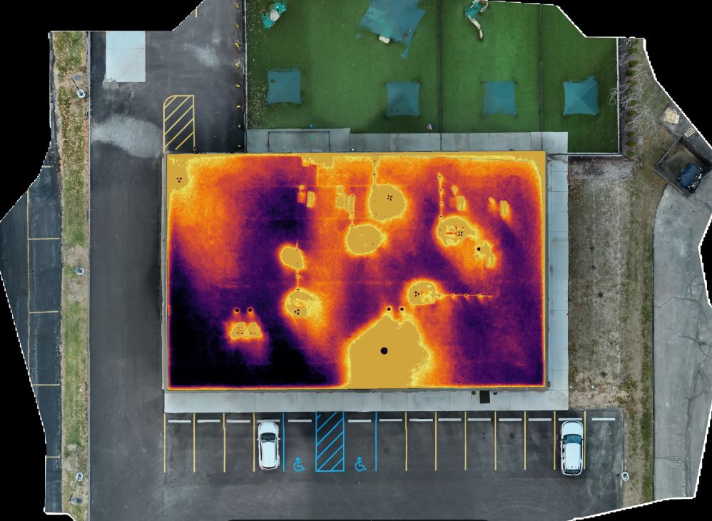
Thermal drone operations mount radiometric infrared cameras on UAV platforms to capture heat signature data invisible to the human eye and conventional camera systems. This capability has extensive commercial and industrial applications: building envelope inspections to identify insulation failures and moisture infiltration, electrical infrastructure surveys to detect hot spots in panels and transmission lines, solar array inspections to identify underperforming panels, and HVAC system diagnostics.
For organizations involved in facilities management, construction, energy, agriculture, or infrastructure, thermal drone surveys offer a level of diagnostic precision that ground-based inspection methods cannot match, at a fraction of the time and cost of traditional assessment approaches.
Orthomosaics and Photogrammetry
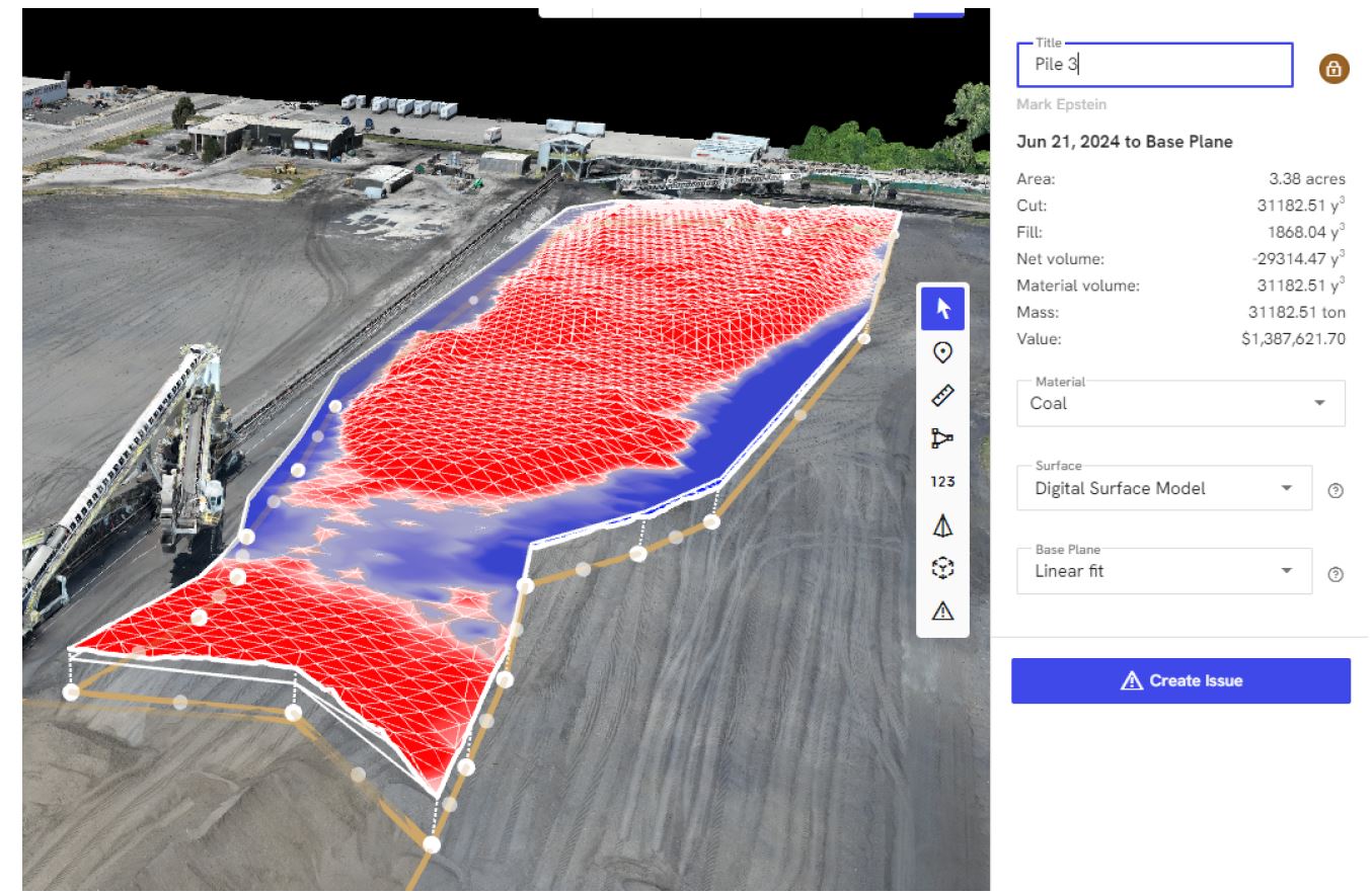
An orthomosaic is a geometrically corrected aerial image — or mosaic of images — that has been processed to remove the distortions inherent in perspective photography, producing a map-accurate overhead representation of a site. Photogrammetry workflows extend this capability into three dimensions, generating point clouds, digital surface models, and 3D mesh representations of terrain and structures from overlapping aerial image sequences.
For construction site progress documentation, land development planning, volumetric material estimation, and site mapping, orthomosaic and photogrammetry services deliver data products with quantifiable, measurable value. These are not decorative images — they are spatial data assets that inform decisions and support project workflows.
LiDAR (Light Detection and Ranging)
LiDAR-equipped drones emit laser pulses and measure return times to generate dense, high-resolution three-dimensional point clouds of terrain and structures. Unlike photogrammetry, which derives geometry from image texture and contrast, LiDAR penetrates vegetative canopy to capture ground surface data beneath tree cover — a capability critical for corridor surveys, topographic mapping in forested environments, and archaeological applications.
Drone-mounted LiDAR systems produce survey-grade spatial data products that serve engineering, environmental, infrastructure, and land use planning workflows. The combination of aerial mobility and LiDAR precision enables coverage of large or complex sites in timeframes that ground-based survey methods cannot approach.
Airspace Authorization and Regulatory Compliance
Beyond Part 107 certification, advanced aerial operations frequently require additional regulatory coordination. Productions occurring within controlled airspace near airports require LAANC authorization or FAA waivers. Night operations, flights over moving vehicles, and operations from moving aircraft require specific FAA waivers under Part 107. Flights over people or in densely populated areas require category-specific certification and operational limitations.
A professional aerial production partner navigates this regulatory landscape as a standard component of pre-production planning. Authorizations are filed. Waiver applications are submitted with appropriate lead time. Operational parameters are established and communicated to the production team. Compliance is not an afterthought — it is baked into every project from the first production call.
What to Ask When Evaluating an Aerial Production Partner
For organizations assessing aerial production vendors, the following questions establish a credible baseline of professional qualification:
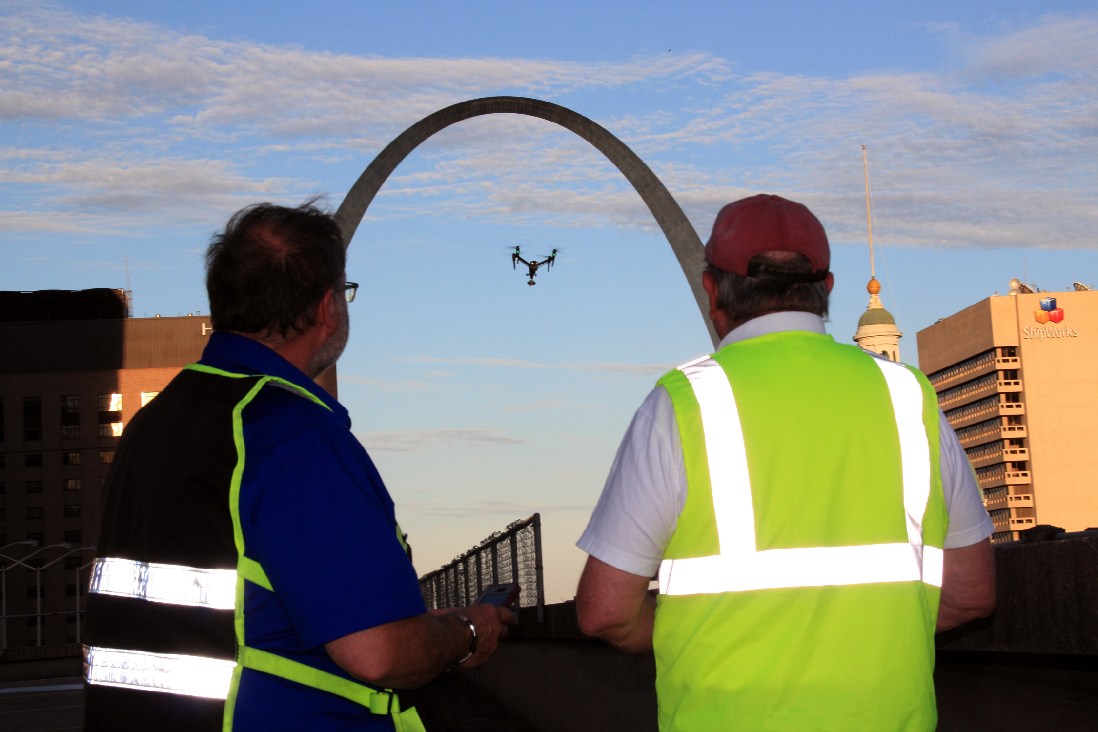
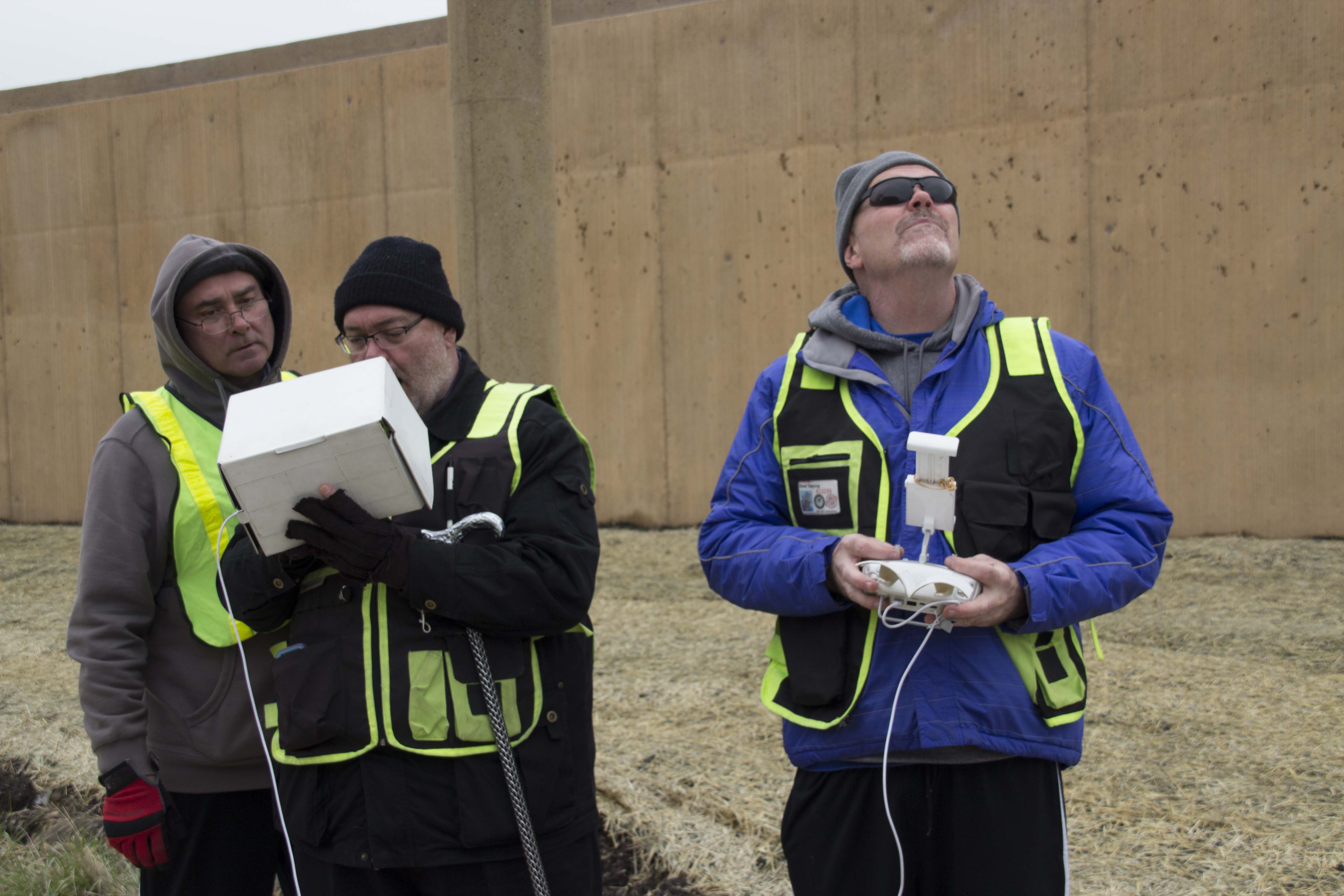
Is your operation FAA Part 107 certified, and can you provide documentation? Do you carry commercial liability insurance, and what are your coverage limits? Can you provide a certificate of insurance naming our organization as an additional insured if required? What is your pre-flight site assessment and airspace authorization process? What aircraft platforms do you operate, and which is appropriate for this production? Do you have experience with the specific environment and production type this project requires — interior, urban, industrial, rural, event, etc.? What are your data delivery specifications, and in what formats is footage provided?
A capable, professional aerial production partner will answer every one of these questions clearly, completely, and without hesitation.
St. Louis Video Editing: Full-Service Aerial and Ground Production Since 1982
Aerial production does not exist in isolation. The most effective commercial imagery — whether captured from 400 feet above a facility or at eye level in a controlled studio environment — is the product of integrated creative and technical expertise across every phase of production, from concept through final delivery.
St. Louis Video Editing is a full-service professional commercial photography and video production company serving businesses, marketing firms, and creative agencies throughout the St. Louis area. Since 1982, we have built a reputation on the depth of our equipment inventory, the experience of our creative crew, and our commitment to delivering imagery that performs across every media context our clients require.
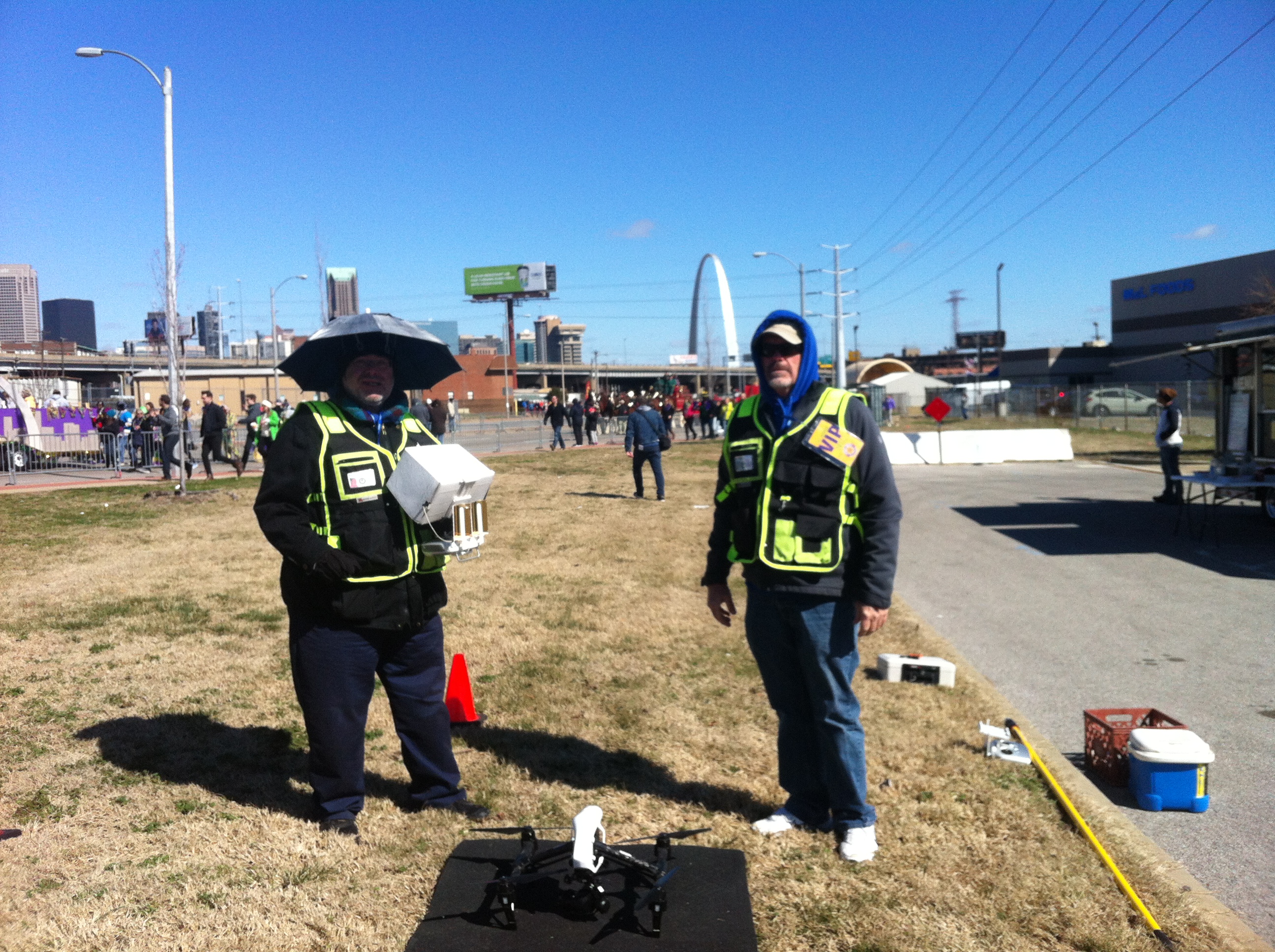
Our aerial services include licensed, insured commercial drone operations for both simple and advanced projects. We fly FPV drones indoors as well as in outdoor environments, and our specialized drone capabilities extend to infrared thermal imaging, orthomosaic mapping, and LiDAR survey services — a range of technical offerings that few regional production companies can credibly claim.
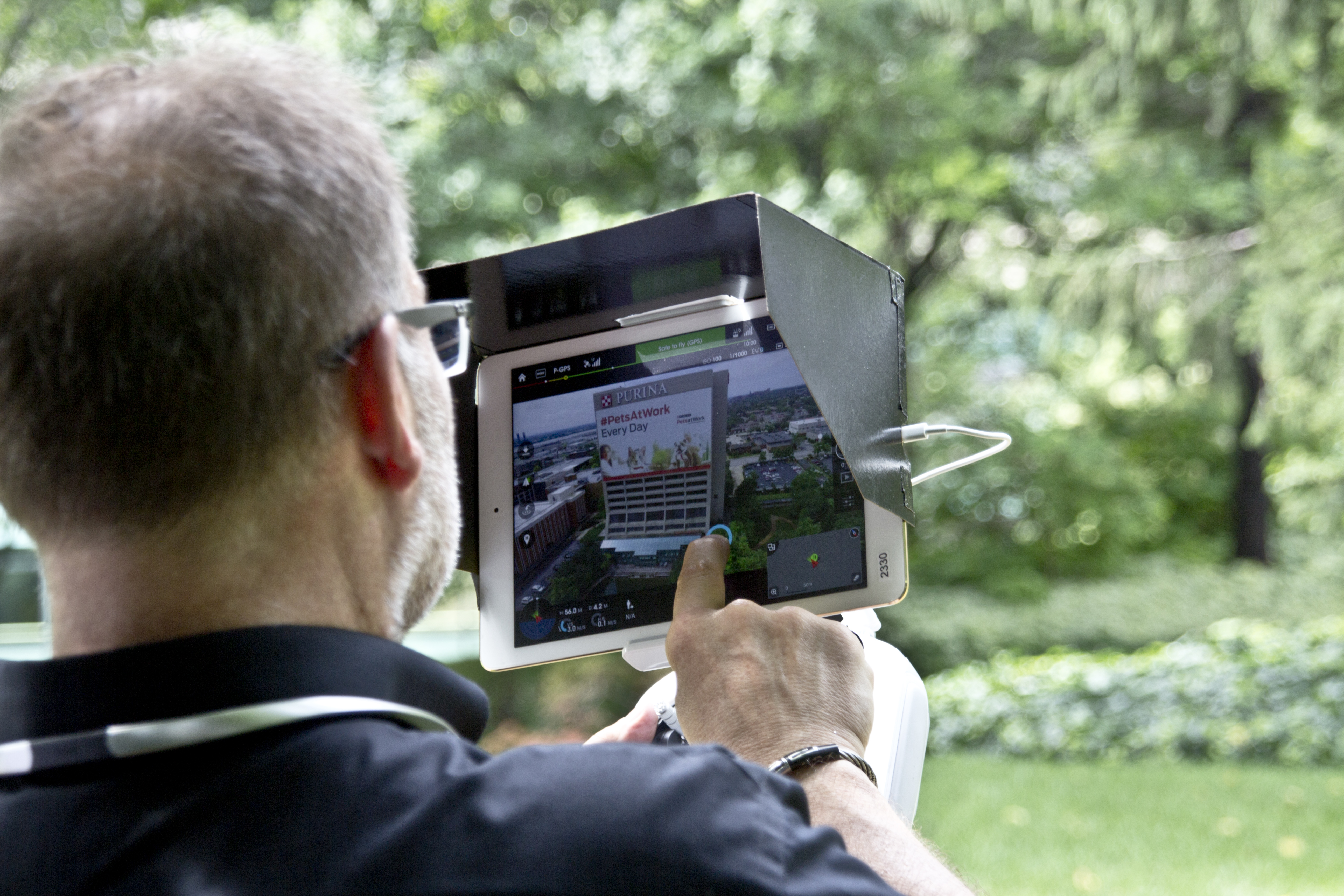
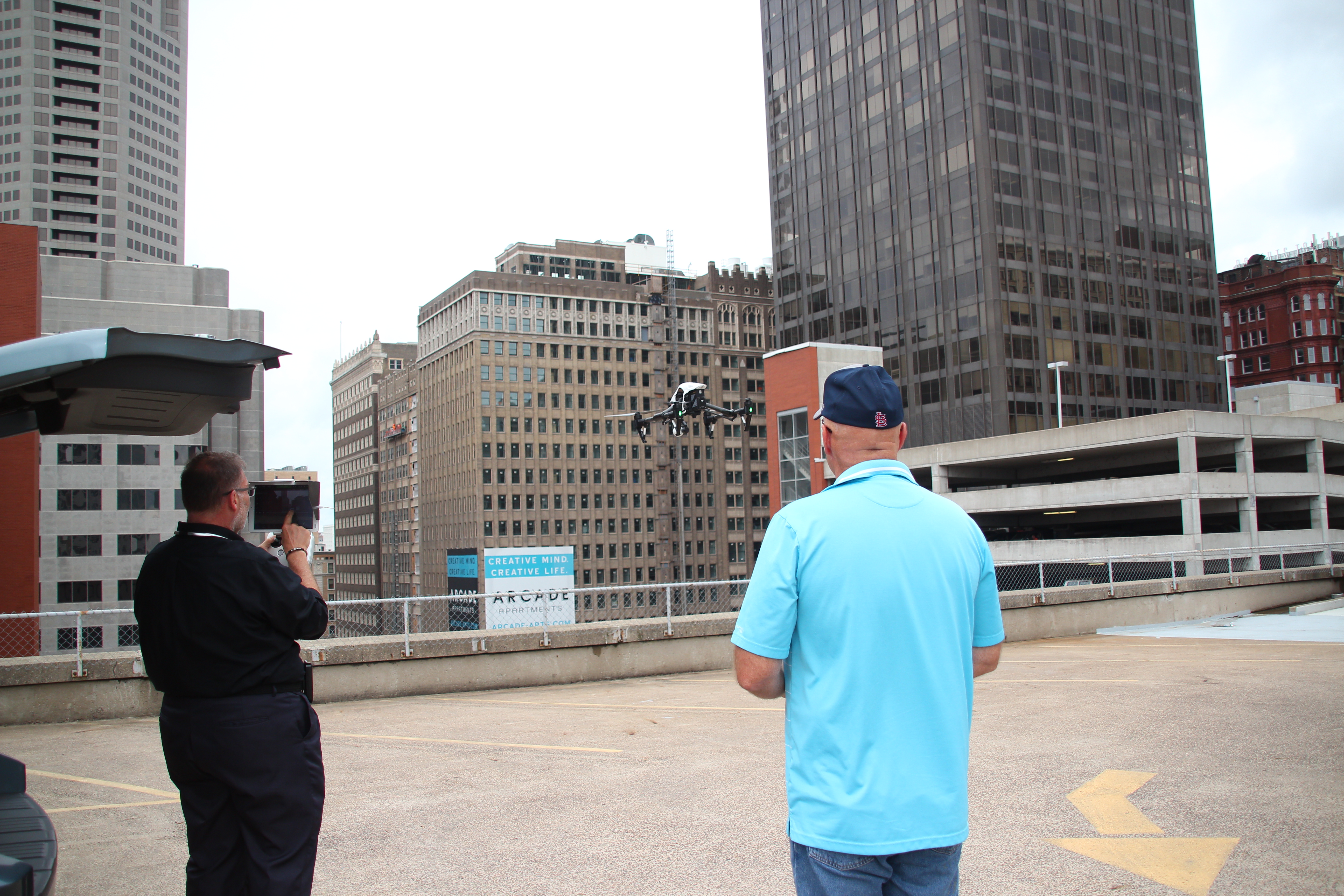
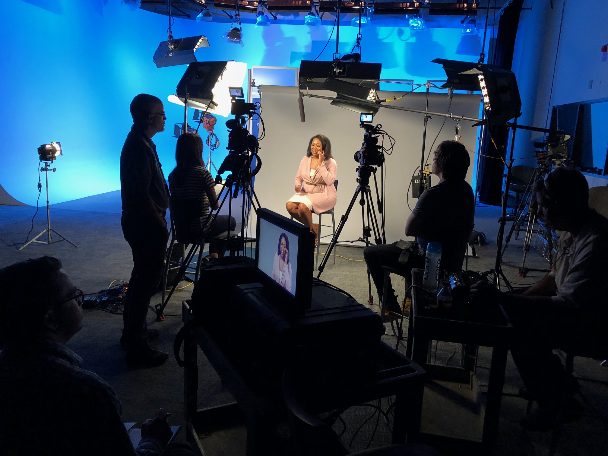
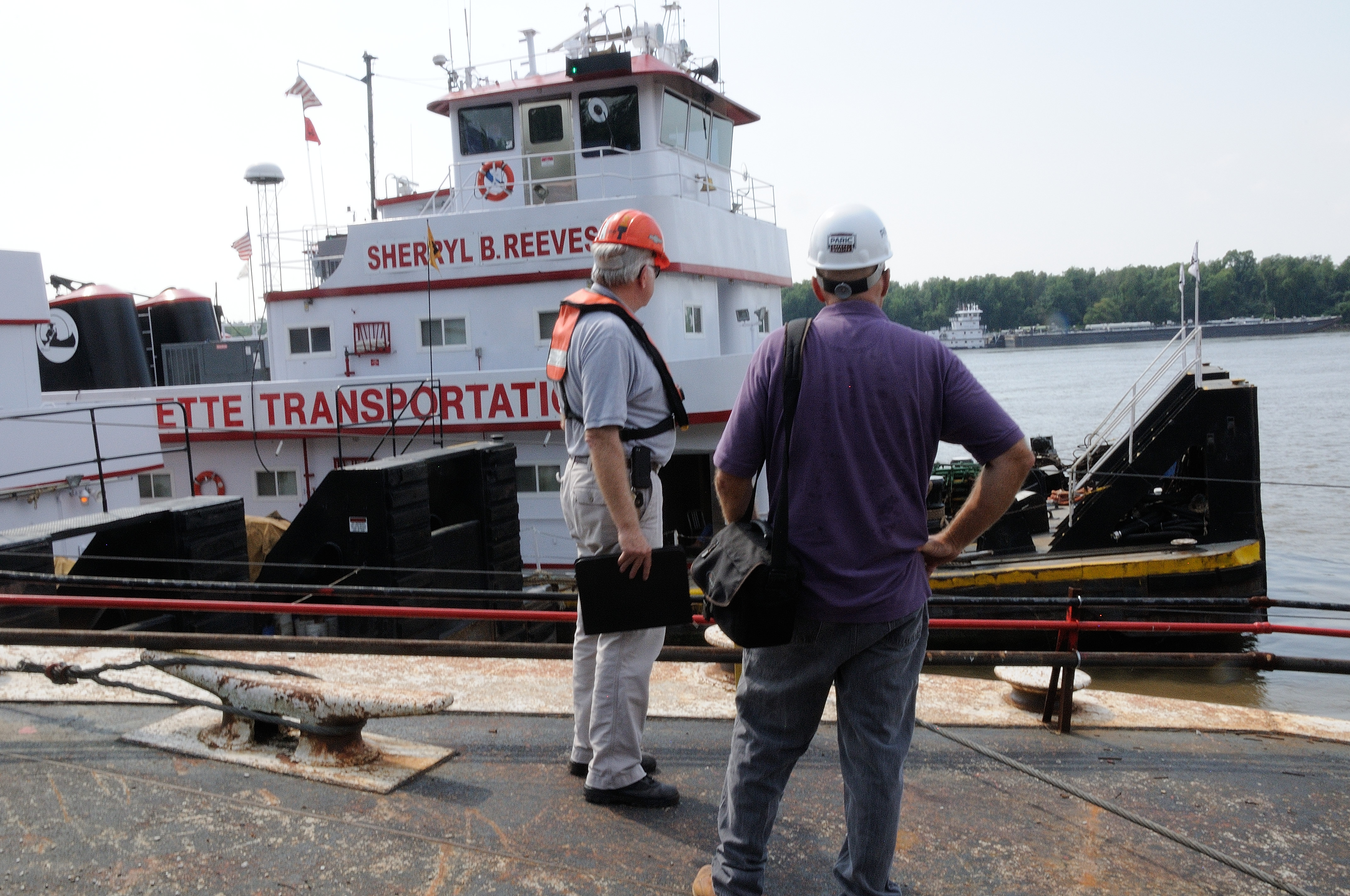
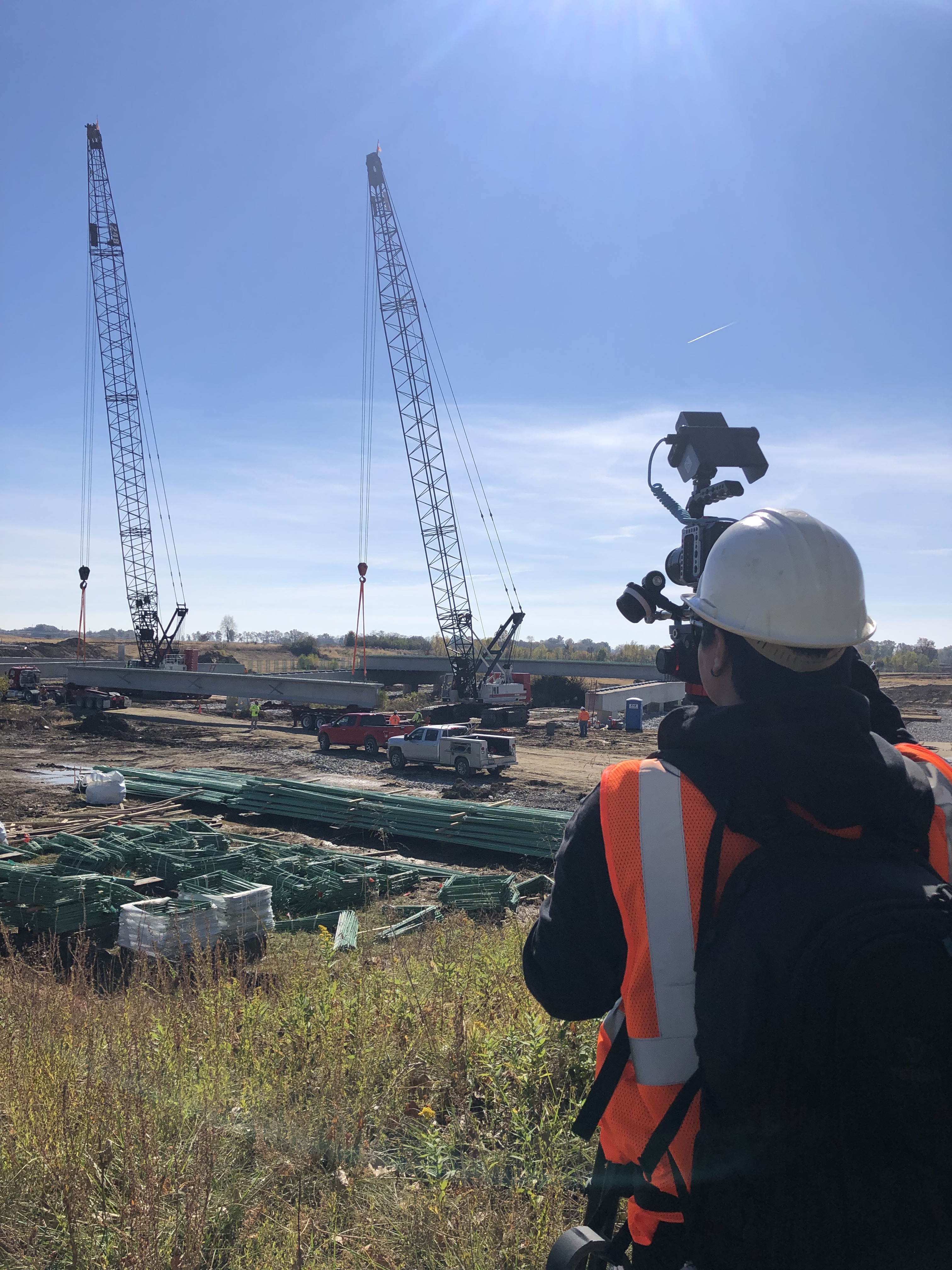
On the ground, our capabilities are equally comprehensive. We offer full-service studio and location video and photography production. Our private studio is equipped with professional lighting and visual infrastructure designed for small productions and interview scenes, with sufficient space to incorporate props and set elements that elevate your production environment. We supply professional sound operators and camera operators, manage all aspects of location scouting and b-roll acquisition, and handle every logistical detail from pre-production planning through post-production delivery.
Our post-production and editing services encompass the full range of formats, file types, and platform specifications your media strategy requires. We are fluent in every relevant software environment and integrate the latest artificial intelligence tools into our media workflows — for editing efficiency, color science, audio processing, and content optimization. We understand that a single production asset rarely serves a single purpose, and repurposing your photography and video content to maximize reach and traction across diverse media channels is a specialty we bring to every client engagement.
Whether your next project requires a straightforward facility overview, a kinetic interior FPV sequence, a full studio interview production, a thermal inspection survey, or a comprehensive video and photography campaign built for multi-platform distribution — St. Louis Video Editing has the equipment, the credentials, the crew, and four decades of production experience to execute it with precision.
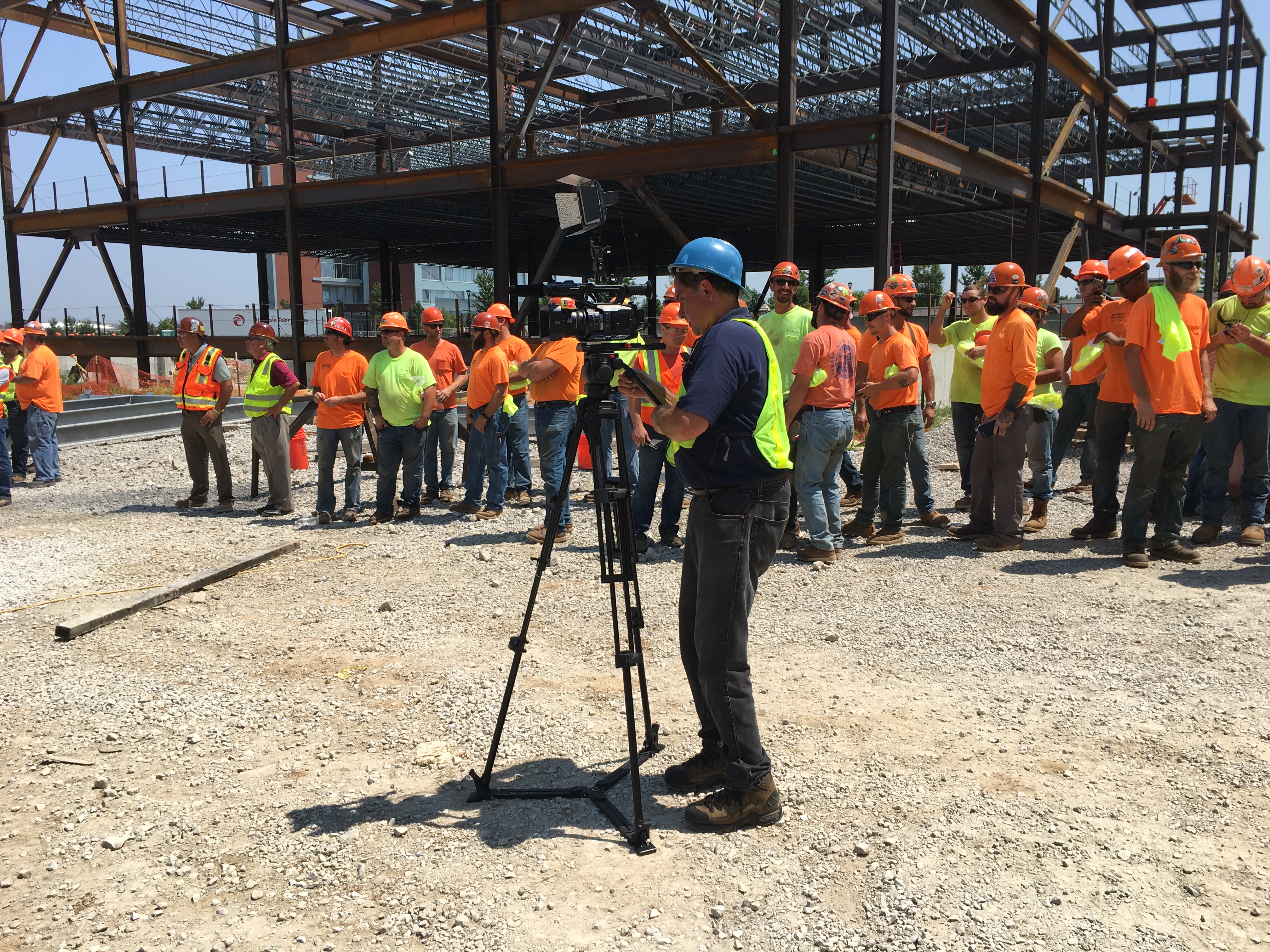
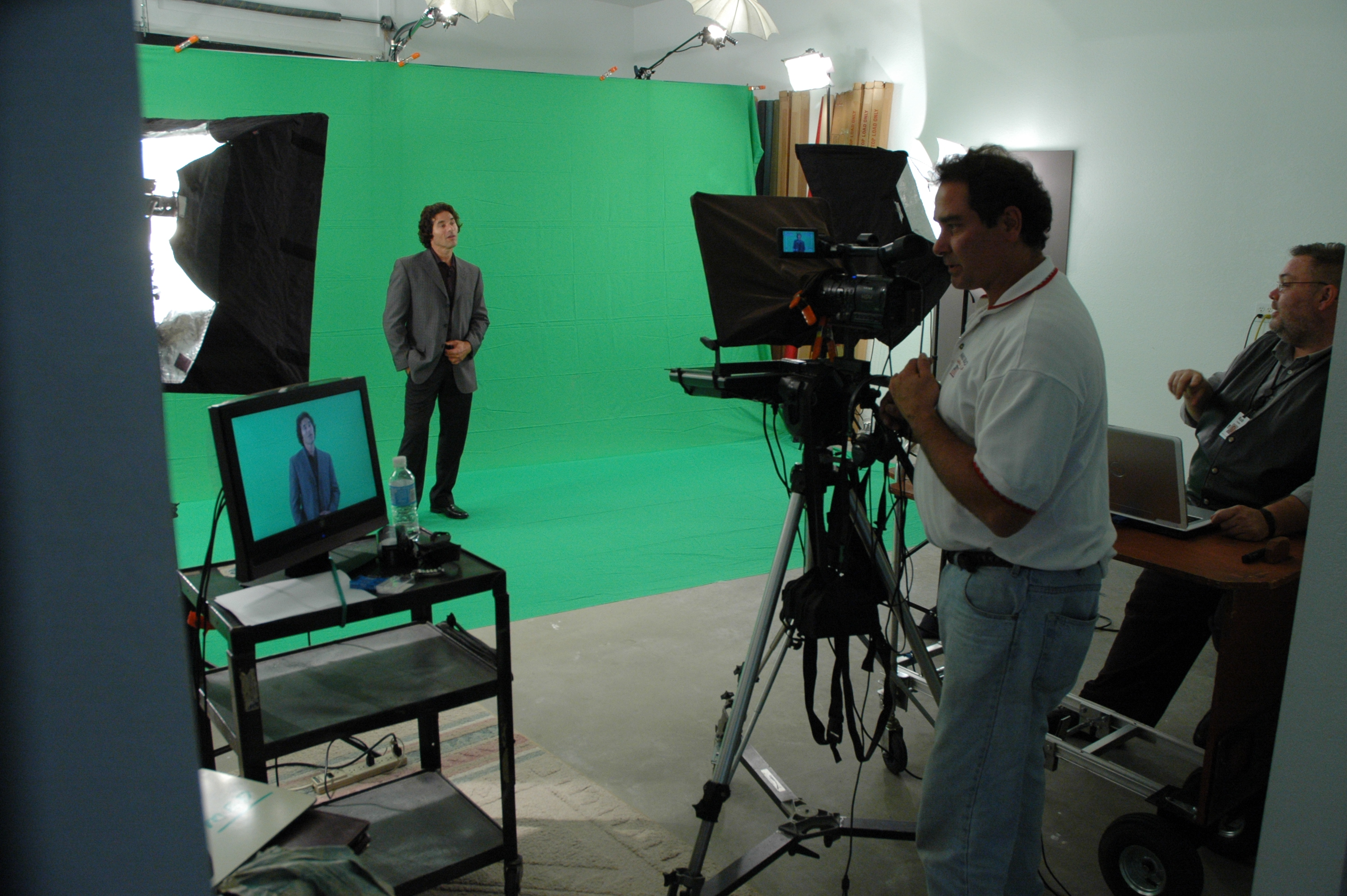
We do not just capture images. We build the visual foundation your brand stands on.
St. Louis Video Editing — Full-Service Commercial Video and Photography Production. Studio and Location. Aerial and Ground. Production Through Post. Serving St. Louis Since 1982.

